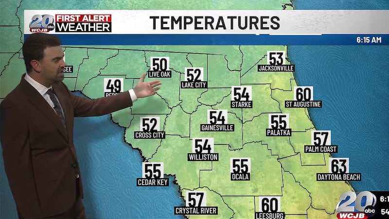
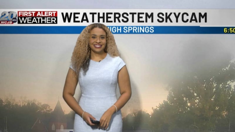
First Alert Weather Forecast: Patchy fog this morning with sunshine and warmer temperatures by the afternoon
TV20 weather forecaster details the latest weather forecast for North Central Florida
GAINESVILLE, Fla. (WCJB) - A warm day to start the week with lots of sunshine.
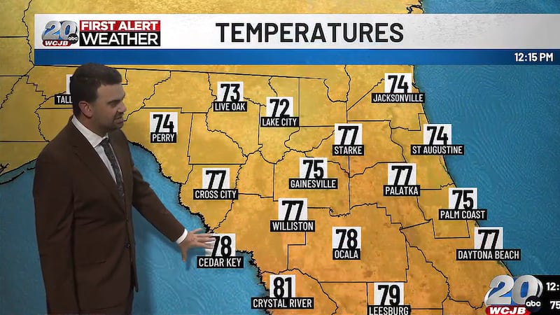
- Today: Dense morning fog, then mostly sunny. Highs in the upper 70s and lower 80s.
- Tonight: Partly cloudy. Lows in the middle 50s.
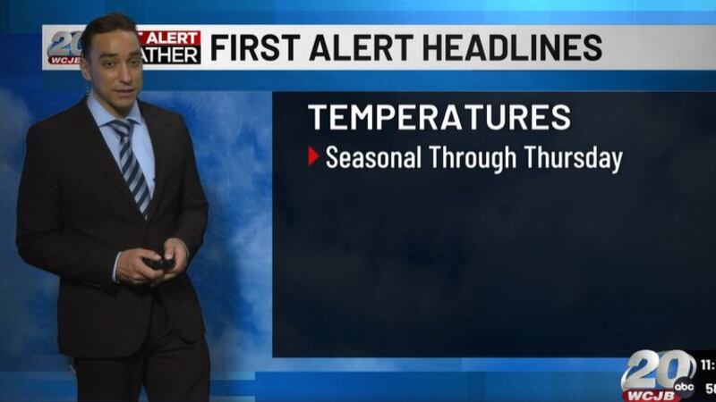
- Extended: A cold front moves through Thursday bringing cooler air by the weekend.
High pressure remains in control, bringing dry and warm conditions for the first part of the week.
Highs today will reach the upper 70s and lower 80s. Humidity will be low, making for a comfortable afternoon to get outside.
Some clouds will move through tonight and again on Tuesday with highs again around 80.
Mostly cloudy on Wednesday before a cold front moves through Thursday.
First Alert: Behind the cold front on Thursday, temperatures will really cool down for the end of the week and the weekend. Highs Friday-Sunday will be in the lower to mid 60s. Overnight lows will dip into the lower 40s; some spots could even see upper 30s Saturday and Sunday morning.
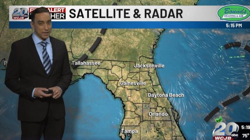
Tropical Update: There are currently no developments expected in the Atlantic. Hurricane season ends on November 30.
Click here to subscribe to our newsletter.
Copyright 2026 WCJB. All rights reserved.